AngelCityArt
 New and vintage artwork, beach themed designs, western sunsets, cool architecture and funny slogans inspired by my hometown Los Angeles; The City of the Angels.
Plus photos, hidden gems, day trips, history, gossip and lore from LA and the Pacific Coast of California.
Popular Pages on AngelCityArt
AngelCityArt New and Vintage Art & Photography at my Zazzle Store
New and vintage art, holiday themes, beautiful sunsets, and colorful flowers from southern California are a few of the designs ...
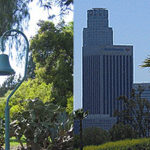
Los Angeles Info and Links Off the Beaten Path
Los Angeles Tidbits and Links off the Beaten Path Los Angeles City Flower - Bird of Paradise Los Angeles City ...
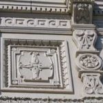
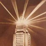
The Lankershim Building North Hollywood
LA Architecture: The Lankershim Building One of my favorite buildings in the San Fernando Valley is on Lankershim Boulevard, up ...
Popular Sections in My Zazzle Store:
Holiday Designs and Custom Art Cards
|
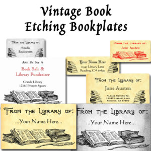
Custom bookplate stickers, ex-libris labels, flyers and cards to help you keep track of the books in your library with restored antique art and vintage font options.
|
|
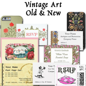
Vintage Art Cards, Invitations & Custom Postage
Greeting cards and blank art cards, Thank You notes, invitations and postage all customizable. Zazzle makes it easy to personalize any design! |
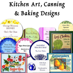
Kitchen Artwork, Canning and Soap Labels
My collection of retro kitchen art, fruit and vegetable crate label art, snappy cooking sayings and slogans plus favorite foods or drinks too. |